myMNW
›
Santorso weather station (VI)
/
Santorso / Via Murello weather station (VI)
MeteoNetwork certified weather station - MeteoNetwork network - CC-BY 4.0
Webcam and details
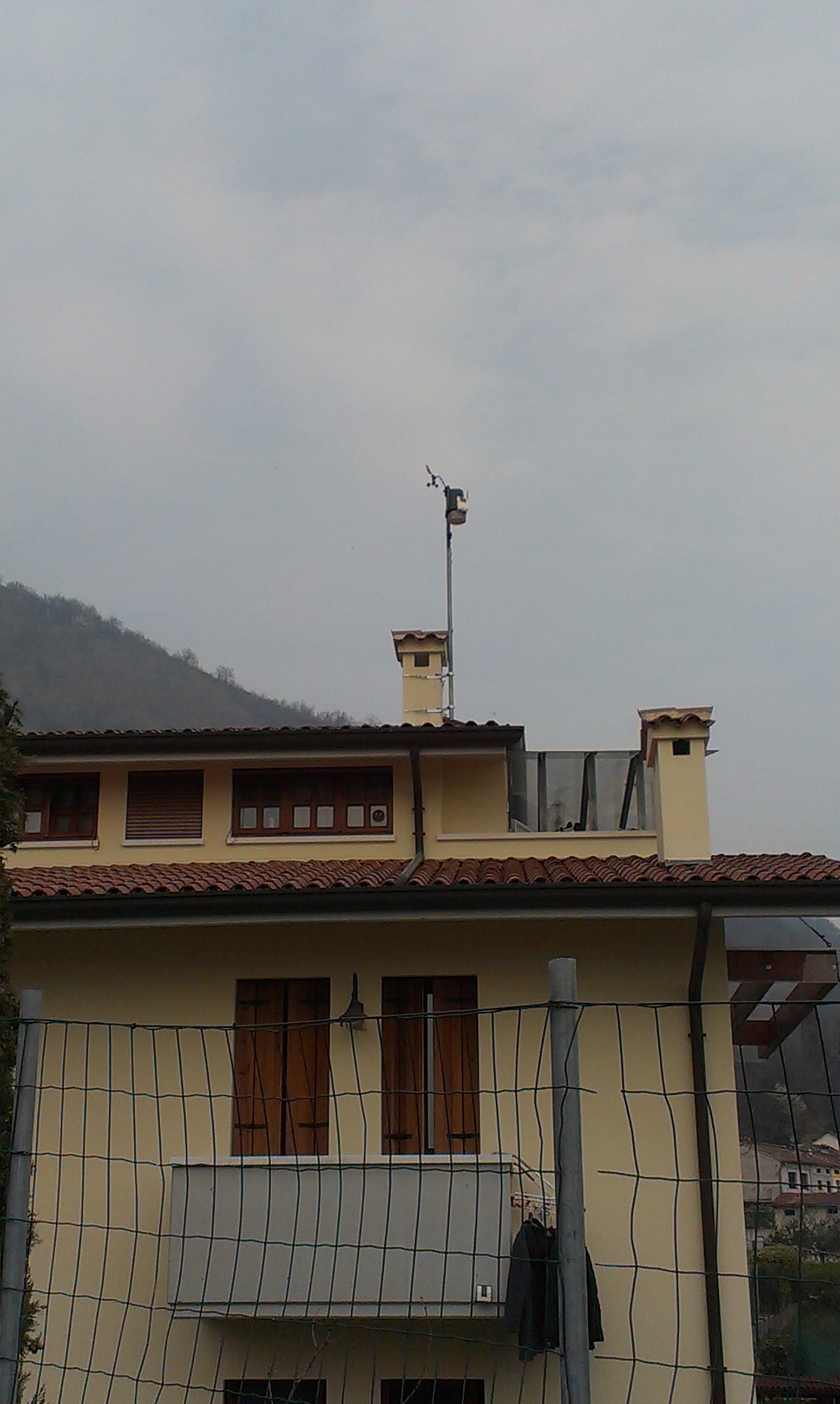
Place: Santorso (IT)
Location: Santorso / Via Murello
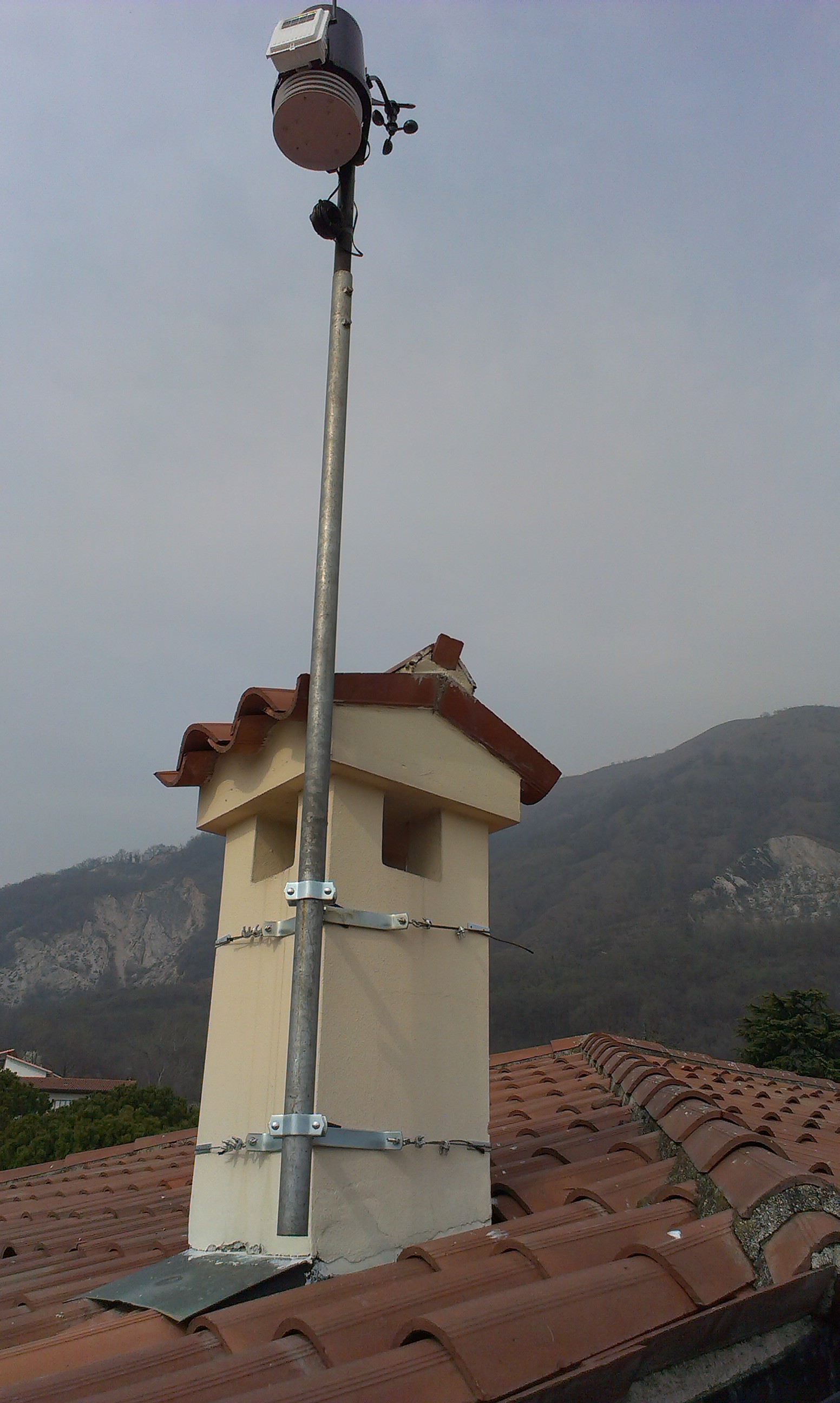
Instrumentation: Davis Vantage PRO2
Latitude: 45.737 N
Longitude: 11.381 E
Altitude: 240 mslm
Height from the ground: 200 cm
Shielding: standard
Kind of station: urban
Type of location: roof
Location: Santorso / Via Murello
Instrumentation: Davis Vantage PRO2
Latitude: 45.737 N
Longitude: 11.381 E
Altitude: 240 mslm
Height from the ground: 200 cm
Shielding: standard
Kind of station: urban
Type of location: roof
Il clima di Santorso è il classico clima della pedemontana vicentina, soggetto a forti fenomeni di stau durante i mesi autunnali e quindi con quantitativi pluviometrici molto abbondanti. La collocazione del paese, rivolto completamente verso sud, lo rende anche uno dei posti più "caldi" della pedemontana vicentina. Non sono rari anche forti fenomeni di favonio, con raffiche attorno ai 50/60 Km/h. In estate il paese si presta bene anche a ricevere i temporali in discesa dall'altopiano di Asiago e dal Gruppo del Carega/Pasubio. - A causa di alcuni malfunzionamenti la stazione è stata inattiva dal 29/7/2014 al 22/9/2014 -
No webcam available
Note: To be visible, webcams must have a valid https link