Azienda Falcone - Roseto Valfortore weather station (FG)
MeteoNetwork certified weather station - MeteoNetwork network - CC-BY 4.0
Webcam and details
Location: Azienda Falcone
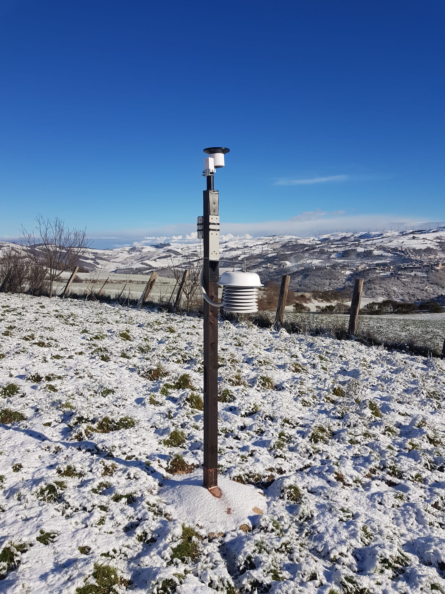
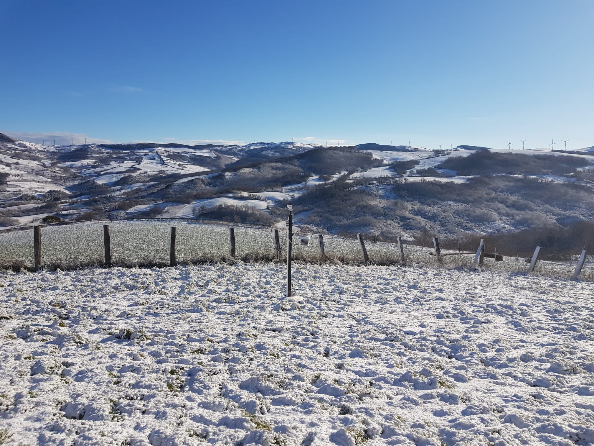
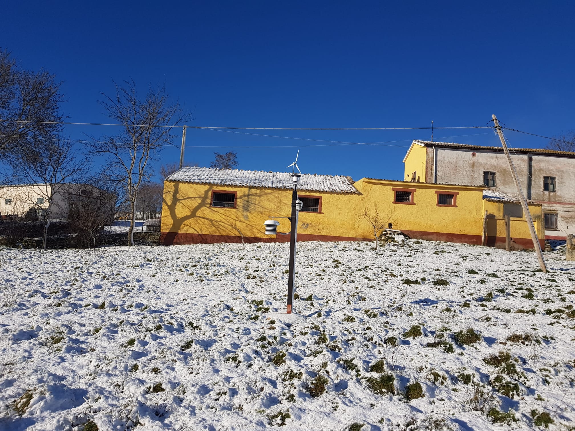
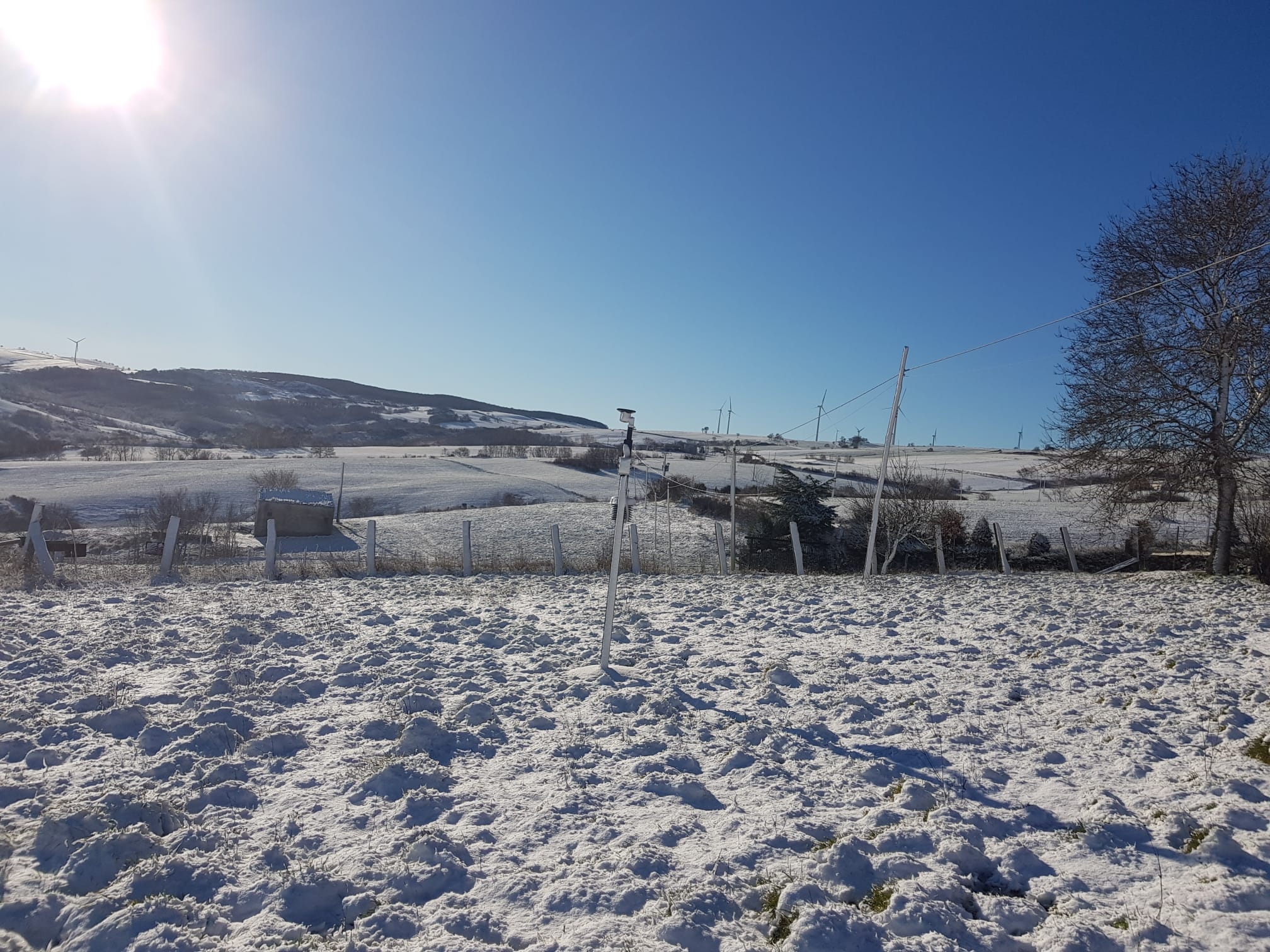
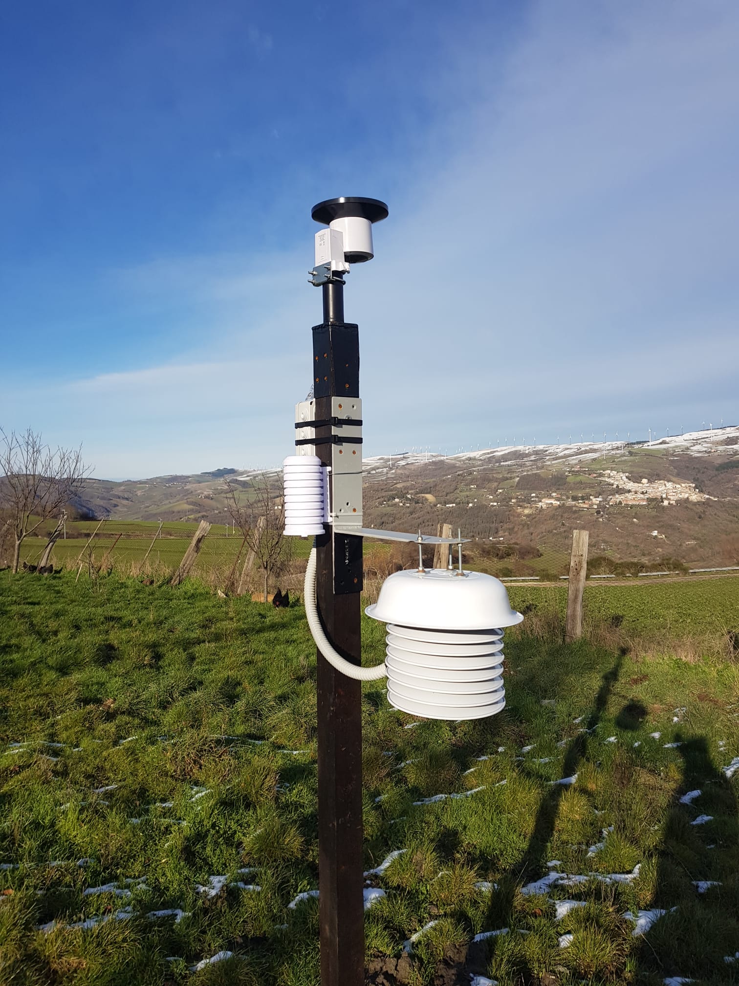
Instrumentation: Ecowitt gw1000, pluviometro WH40, WH32-EP + Schermo solare autocostruito
Latitude: 41.355 N
Longitude: 15.075 E
Altitude: 700 mslm
Height from the ground: 160 cm
Shielding: self-built
Kind of station: extraurban
Type of location: open field
Monthly ranking:
Yearly ranking:
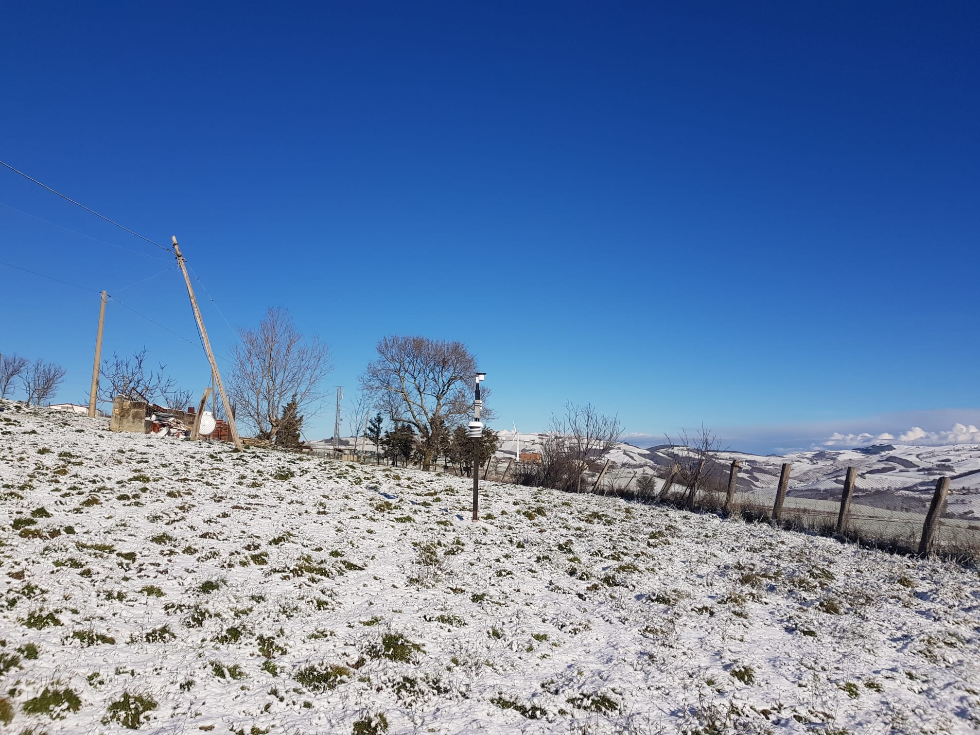
In azienda, al fine di monitorare e archiviare i dati metereologici, abbiamo installato un Gateway GW1000, un pluviometro WH40 (a circa 230 cm di altezza) e un termoigrometro WH32-EP, la cui sonda esterna è stata inserita in uno schermo solare autocostruito (a circa 160 cm di altezza). L'azienda agricola è ubicata a sud-ovest del territorio rosetano, al confine con la regione Campania, ad un'altitudine di 700 m s.l.m.. È circondata da alcuni rilievi che arrivano ad un'altitudine di 900 m a sud/sud-ovest e dalla valle del fiume Fortore, che scende intorno ai 500 m nell'alveo fluviale, ad est e a nord-est. Il territorio di Roseto Valfortore è tipicamente montano, con un clima umido e freddo nella stagione invernale e in diversi periodi dell’anno. Nella stagione invernale, non mancano frequenti nevicate, anche per via della immediata vicinanza a diverse vette di altitudine intorno ai 1.000 m s.l.m.(Monte Tufaro, 918 m; Monte San Chirico, 991 m; Monte Vento, 1.056 m; Monte del Forno, 991 m; Monte Stillo, 1.010 m; Monte Pagliarone, 1.029; Monte Saraceno, 1.145 m.), nonché al monte Cornacchia (1.151 m s.l.m.), la vetta più alta della Puglia. Le estati, invece, sono brevi e asciutte, molto gradevoli e il clima in questa stagione è piuttosto mite. Il nome Roseto, anticamente “Rosito”, deve la sua origine all’abbondanza di rose selvatiche che sorgono nel territorio circostante, mentre l’aggiunta di “Valfortore” va riferita al Fiume Fortore che nasce ad Est del paese e ne solca la tipica valle a V, la quale, nelle vicinanze dell'alveo fluviale (fiumara a carattere torrentizio, per la maggior parte dell'anno asciutta) è influenzata da un microclima particolare: molto più freddo in inverno, diversamente, più caldo di giorno con sbalzi termici notturni in estate. In generale, durante l'anno, la temperatura va da 1° C a 28° C, non è raro che nella stagione fredda si scenda a temperature inferiori a -3° C, mentre di rado la temperatura estiva è superiore a 32° C.
No webcam available