myMNW
›
San Possidonio weather station (MO)
/
San Possidonio weather station (MO)
Rating:
(93.4 %)
MeteoNetwork certified weather station - MeteoNetwork network - CC-BY 4.0
Webcam and details
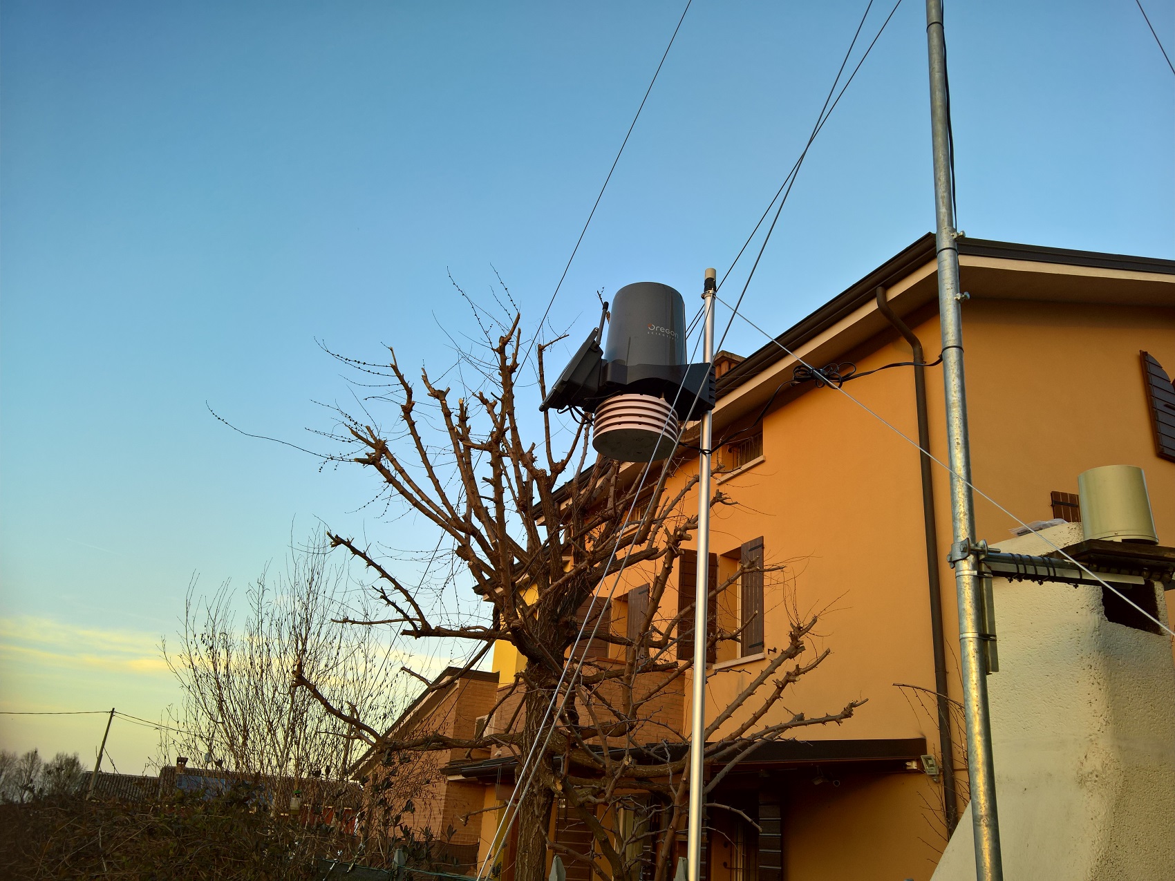
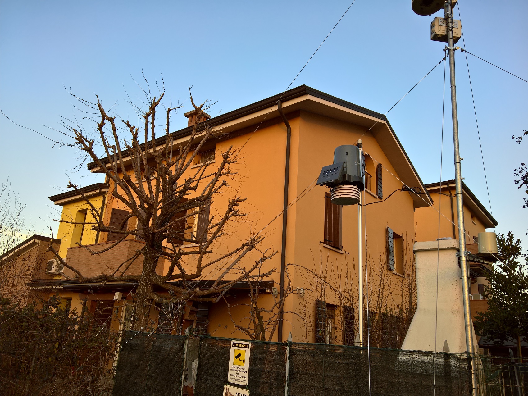
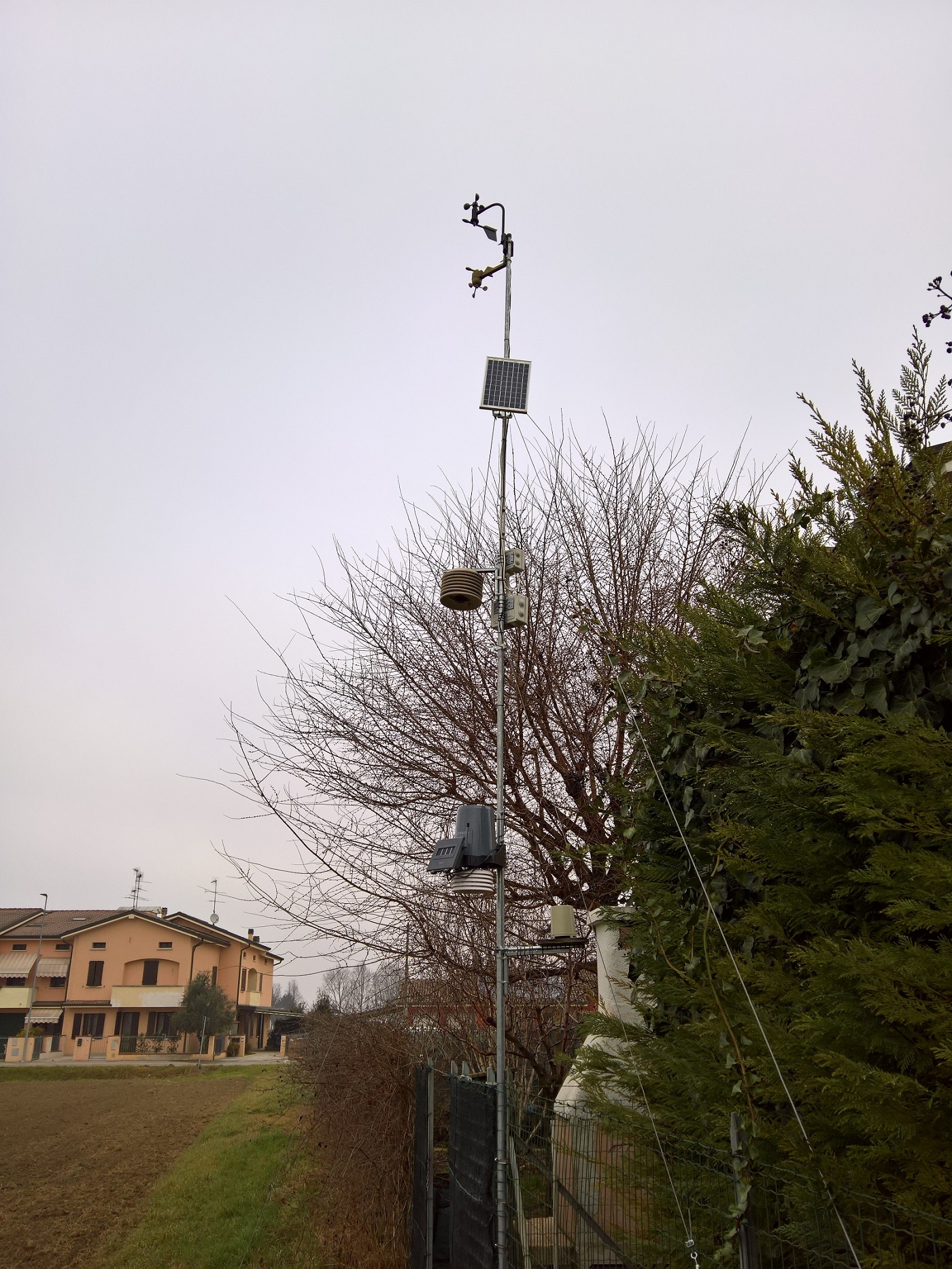
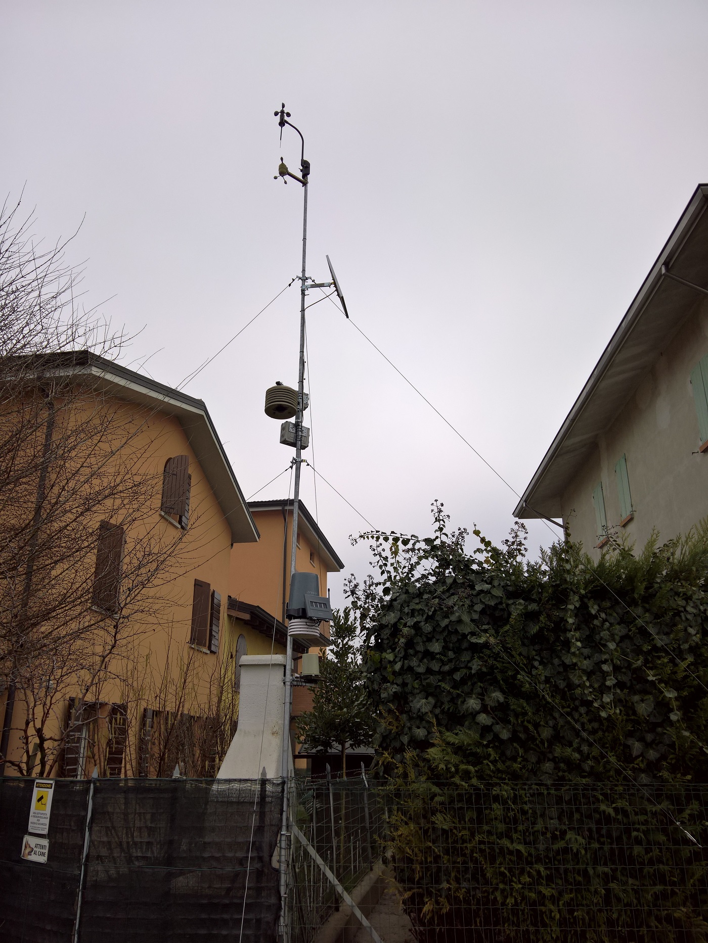
Place: San Possidonio (IT)
Location:
Instrumentation: Oregon Scientific WMR 300
Latitude: 44.894 N
Longitude: 11.001 E
Altitude: 18 mslm
Height from the ground: 800 cm
Shielding: standard
Kind of station: urban
Type of location: garden
Monthly ranking:
Yearly ranking:
Location:
Instrumentation: Oregon Scientific WMR 300
Latitude: 44.894 N
Longitude: 11.001 E
Altitude: 18 mslm
Height from the ground: 800 cm
Shielding: standard
Kind of station: urban
Type of location: garden
Monthly ranking:
Yearly ranking:
Per Bassa padana si intende una striscia della Pianura Padana lungo il fiume Po, all'incirca compresa tra Pavia e le valli di Comacchio e chiusa a sud, per tutta la sua lunghezza, dall'Appennino ligure e tosco-emiliano. È chiamata così poiché si tratta della zona più bassa della Valpadana, caratterizzata da un clima estremamente umido, che porta estati molto afose e inverni rigidi e nebbiosi.